Utilities and field services
Know where your crews are, and what the data says
For utilities and field service fleets with crews spread across many sites, often on call after hours.
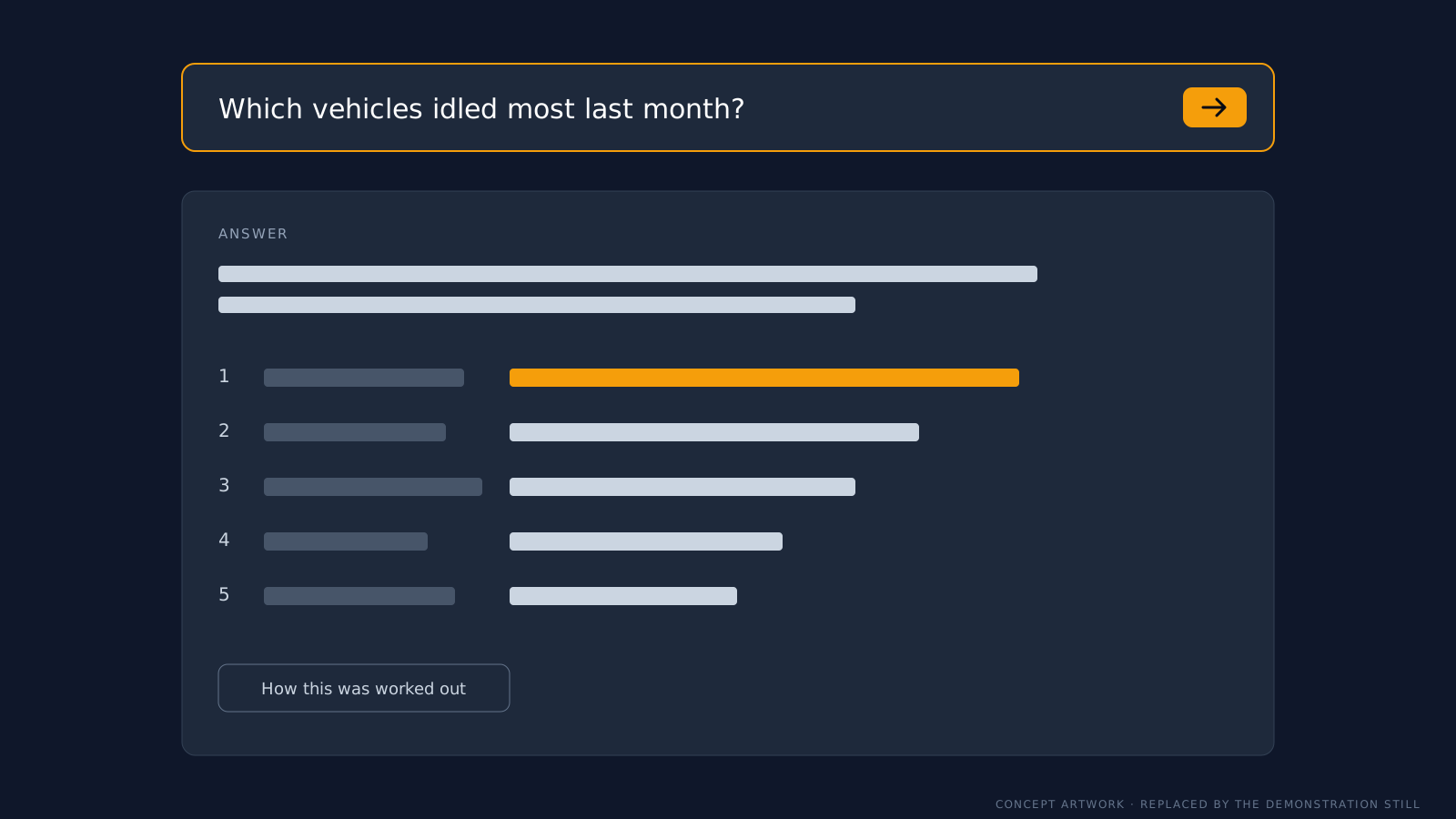
Example built on Geotab demonstration data. No client data is shown.
What we hear from fleets like yours
Sound familiar?
After-hours trips you can't explain. A call-out and a private trip look the same in the data.
Job sites showing as unknown stops. Crews spend the day at sites that MyGeotab has no name for.
Trips with no driver. Vehicles are shared between crews, and nobody can say who had which one.
What we'd look at first
Where we'd start
- Zones for depots, plant sites and regular job locations, so time on site is recorded properly.
- Driver identification that crews will actually use, set up to suit shared vehicles.
- After-hours rules that match your on-call roster, so the alerts that reach your supervisors are worth acting on.
How the pillars fit
How we help
Configuration
Zones, rules and driver identification set up for field work, for a fixed fee.
MyGeotab as a service
New crews, vehicles and sites kept up to date each month, with regular plain-language reports and a quarterly review.
Projects
Fleet data linked to your job and payroll systems, and plain-English questions answered from your own data.
Free data health check
Start with a free health check
Find out whether your zones, rules and driver identification are telling you the truth. You get a two to three page written report on your top five problems, then a 30-minute call. It's free, and it's not a sales pitch.